


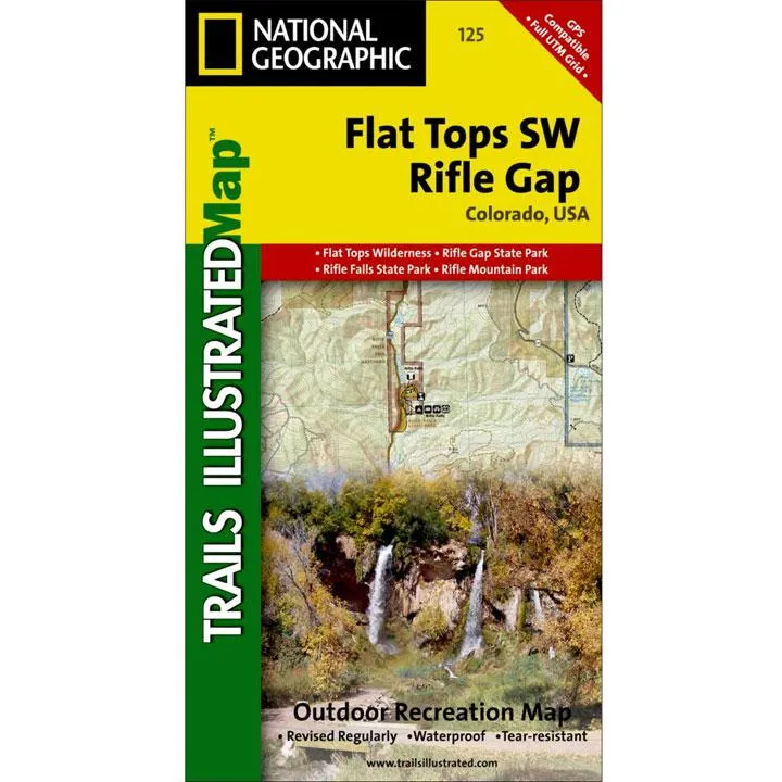
The Flat Tops SW/Rifle Trails Illustrated map is the most comprehensive recreational map for this beautiful area in western Colorado. Coverage includes: White River National Forest; Grand Hogback; and the Rifle Gap and Rifle Falls State Recreation Areas; Rifle Mountain Park; and the city of Rio Blanco. Also includes Rifle Gap Reservoir, Rifle Creek, and Meadow Lake.
- Approximately 4" x 7 1/2" folded; 22" x 32" fully opened
- Waterproof, tear-resistant
- Scale = 1:40,680
- Map revised - 2000
More than just a map, National Geographic Trails Illustrated topographic maps are designed to take you into the wilderness and back. Printed on tear-resistant, waterproof material, this map can go anywhere you do. Each map is based on exact reproductions of USGS topographic map information, updated, customized, and enhanced to meet the unique features of each area. The maps include valuable wilderness tips and Leave No Trace guidelines, along with updated trails, trailheads, points of interest, campgrounds, and much more. With a new color palette and stunning shaded relief, backcountry navigation has never been easier.


